(CNN) — Hikers looking to summit Scotland’s highest mountain and other peaks in the area are being sent up “potentially fatal” routes by Google Maps, the region’s mountaineering organizations have warned.
Ben Nevis, a popular tourist destination, is the highest mountain in the British Isles, standing at 1,345 meters (4,413 feet). Although thousands summit it annually, climbing the peak is not without risks and deaths have been recorded on the mountain as recently as this year.
“The problem is that Google Maps directs some visitors to the Upper Falls car park, presumably because it is the closest car park to the summit,” John Muir Trust’s Nevis Conservation Officer Nathan Berrie said in a statement.

Mountaineering Scotland have warned of “dangerous” routes up Ben Nevis.
Google/Mountaineering Scotland

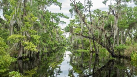
A “dangerous” route indicated for An Teallach, as described by Mountaineering Scotland.
Google/Mountaineering Scotland
“But this is NOT the correct route and we often come across groups of inexperienced walkers heading towards Steall Falls or up the south slopes of Ben Nevis believing it is the route to the summit,” Berrie added.
Mountaineering Scotland also warned that a route suggested by Google Maps was “potentially fatal.”
“For those new to hill walking, it would seem perfectly logical to check out Google Maps for information on how to get to your chosen mountain,” Heather Morning, Mountaineering Scotland’s mountain safety adviser explained in a statement.
“But when you input Ben Nevis and click on the ‘car’ icon, up pops a map of your route, taking you to the car park at the head of Glen Nevis, followed by a dotted line appearing to show a route to the summit.”
Morning said that “even the most experienced mountaineer would have difficulty following this route. The line goes through very steep, rocky, and pathless terrain where even in good visibility it would be challenging to find a safe line. Add in low cloud and rain and the suggested Google line is potentially fatal.”
Over a cliff
She also added that Google Maps suggested other routes which would direct users towards “life threatening terrain” when they sought to navigate the country’s other high peaks, including the 1,062-meter An Teallach.
“For An Teallach in the northwest, a ‘walking’ route was input into the search engine and the line offered would take people over a cliff,” she warned.
“It’s all too easy these days to assume that information on the internet is all good stuff, correct, up to date and safe. Sadly, experience shows this is not the case and there have been a number of incidents recently where following routes downloaded off the internet have resulted in injury or worse,” she said.
The organizations want to consult with Google to remove any “life threatening” routes, Mountaineering Scotland said, adding that appeals from John Muir to Google had gone unanswered.
A spokesperson for Google told CNN the company was looking into the complaints.
“We built Google Maps with safety and reliability in mind, and are working quickly to investigate the routing issue on Ben Nevis and surrounding areas,” the spokesperson said in an email.
“In addition to using authoritative data and high definition imagery to update the map, we encourage local organizations to provide geographic information about roads and routes through our Geo Data Upload tool.”

Recent Comments